
Queensbury Neighbors by Parcel
Queensbury neighbors are best understood first as nearby parcels, not as a list of people. The Town’s mapping and assessment tools can show the parcel geometry, owner-of-record field, mailing line, roads, and local boundary layers. Those are useful starting points for neighborhood history, civic questions, or checking the context of an address. They do not reliably identify every person who lives on the block.
Keep three labels separate: situs is the property location, owner of record is the person or entity shown on the parcel, and mailing address is where tax mail is sent. A mailing line can be in a different postal city. A renter, family member, or protected participant may not appear in any public parcel result.
| Source | What It Shows About a Queensbury Block | Access |
|---|---|---|
| Town GIS parcel layer | Adjacent parcel outlines, IDs, roads, districts, and environmental context | Free mapper with buffer and select tools |
| Town Property Locator | Selected parcel’s owner, mailing, situs, and tax-map fields | Free web search and Assessor counter |
| County assessment roll | Owner/mailing line, class, assessment, and tax-map data | Annual published roll, with year noted |
| County Clerk instrument index | Recorded party names and deed history | Name search; no address or parcel index |
| Community organizations | Contact point, notices, and local area context | Organization page or direct request |
For a historic neighborhood question, the Records Center, Historian, and local-history repositories can add maps, directories, census material, and town-index leads. The Town’s current parcel tools remain the right starting point for the physical block.
Map Queensbury Neighbors in GIS
The Town of Queensbury Interactive Mapper searches by Parcel ID, Owner, or Address. Its map includes Queensbury Parcels, roads, municipal and town boundaries, subdivisions, election districts, zoning, water and sewer lines, and several environmental layers. Those layers can explain why a parcel appears in a district notice or Town project record without turning the map into a people directory.
The map’s documented tools include Identify, Add to Current Selection, Select By Attributes, Select by Polygon, and a buffer workflow. The official GIS page warns that Chrome is unsupported and recommends Firefox or Internet Explorer. A small selection is the proper use case: the underlying REST service reports maximums of 1,000 records and 2,000 selected features.
The interactive parcel viewer provides the tools used to define a small Queensbury neighbor area.
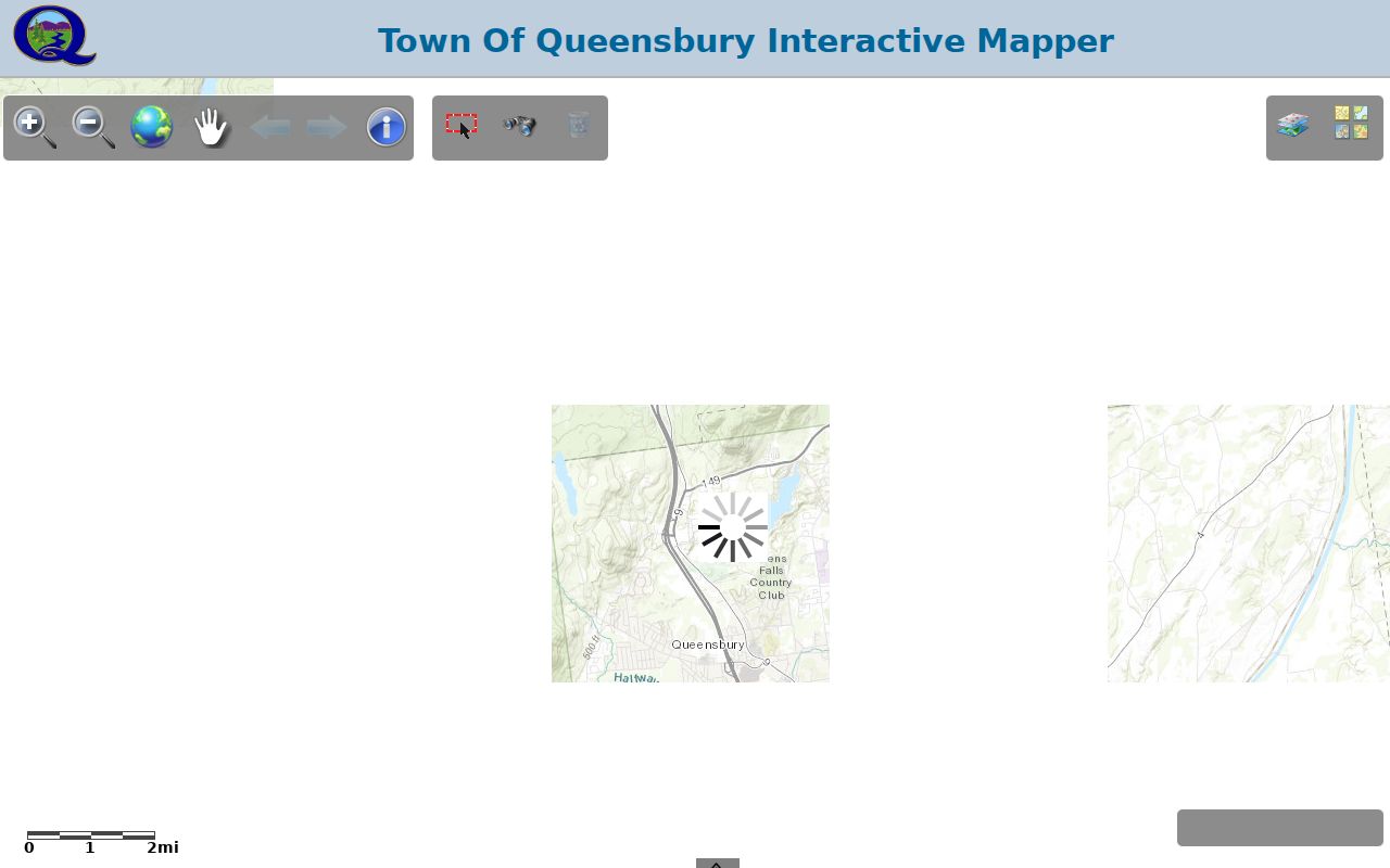
Use its resulting parcel IDs as pointers for the Property Locator and assessment roll, keeping any owner field distinct from a verified resident.
Trace a Queensbury Neighbor Block
A block search begins with the subject parcel and expands only as far as the question requires. The mapper’s spatial tools are especially helpful around an irregular road, lake edge, or subdivision where a street name alone does not show which parcels touch. Print the map with its title, date, legend, scale, and the relevant layer names if it will be used with a records request.
- Find the address, owner, or parcel ID in the Interactive Mapper and use Identify to confirm the subject parcel.
- Turn on roads, subdivision, election-district, and boundary layers that give the parcel context.
- Create a point, line, or area buffer, enter a distance and unit, then use Select Parcels within Buffer to create the nearby parcel set.
- Open each selected parcel in the Property Locator or assessment roll. Note the tax-map number, situs, owner/mailing label, and source year.
- When a full named-street chain is needed, use the Queensbury street directory route rather than enlarging a block search without limit.
The County Clerk index becomes useful only after a parcel result supplies a name. SearchIQS is name-based and does not index real property by address or tax parcel, so it cannot replace the assessor-to-owner bridge.
Queensbury Community Contact Points
Neighborhood organizations describe shared local identity, not every household in an area. The following contacts are useful for notices, association history, or community questions. The research did not locate a complete public membership roster for any of them, and an organization’s mailing address should not be read as a list of nearby residents.
Glen Lake Protective Association
Queensbury community contact and board information.
Assembly Point Association
Lake George and Queensbury-area community contact route.
Waverly Place HOA
A 56-twin-townhome community on Meadowbrook Road, formed in 2001.
Volunteer board and committee structure; no public resident roster located.
The Glen Lake Protective Association contact page is an example of the local, organization-maintained information that may be publicly available.
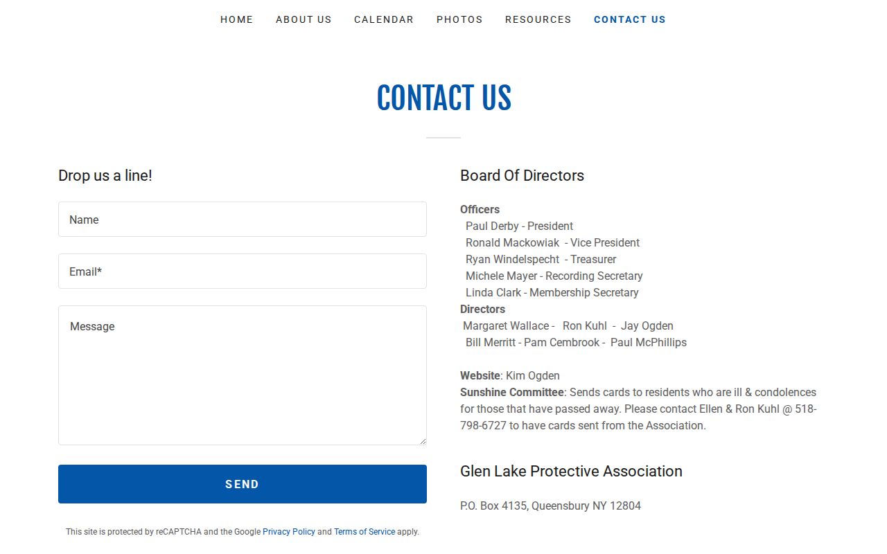
Association contacts can help identify the right community channel while leaving household membership and private addresses with the organization.
Jenkinsville is another example of why area context matters. Town material for its municipal-water project records informational meetings, property-owner input, updates, and water-testing information. Those public materials can connect a parcel to a civic project or local area, but a meeting participant or association officer is not evidence that a person lives at a nearby address.
Queensbury Neighbor Sources Compared
Official records have a defined custodian, a date, and a stated access procedure. A private neighbor-search category may combine older material without showing when a field was collected or whether a name refers to an owner, occupant, or mailing contact. For a Queensbury block, check the official source that corresponds to the claim instead.
| Official local route | Useful for | What it cannot establish alone |
|---|---|---|
| GIS and Property Locator | Parcel geometry, situs, and owner-of-record fields | All people who live at the site |
| Assessment roll | Dated owner and mailing information | Current occupancy or social ties |
| Deed index | Recorded transfers and named parties | A complete household history |
| Association contact | Community notices and organization context | A townwide neighbor directory |
Queensbury Postal and Town Lines
Queensbury neighbors can appear under different postal labels. Official Town records show 12804 for Queensbury, 12801 for Glens Falls mailing lines connected to Queensbury parcels, and 12820 in Cleverdale and North Queensbury material. The postal city does not decide municipal jurisdiction. Use the parcel’s Town field and GIS boundary for that question, then use USPS ZIP Lookup for current delivery formatting.
That distinction matters along the Glens Falls edge and in local communities such as Cleverdale, Glen Lake, Jenkinsville, and Lake Sunnyside. The layers can explain place context, but they cannot show a personal relationship between neighbors.
Queensbury Neighbors and Election Records
New York Election Law §5-602 provides for registration-list publication and inspection procedures arranged by election district, street and number, or alphabetically. The Warren County Board of Elections publishes historical enrollment totals by county, town, ward, and legislative district, with listed years beginning in 2006. Those tables describe enrollment categories and are not an online current-neighbor directory.
For a particular record procedure, contact the Board of Elections rather than treating the state self-lookup as a name search. Election Law §3-220 excludes driver-license numbers, non-driver ID numbers, Social Security numbers, and facsimile numbers from public release. Section 3-103 restricts statewide list use to election purposes. That boundary applies even when a nearby parcel has already been identified on the map.
Queensbury Neighbors in Older Records
A historical block can be reconstructed in layers. The confirmed 1871 Hamilton Child gazetteer and business directory gives names, farms, roads, businesses, and older place labels, while Warren County deeds begin in 1813 and the archive retains assessment rolls from 1854 to 1989. The Warren County Historian adds 1855, 1860, 1865, 1875, and 1910 census indexes and its local cemetery transcripts. Each source must retain its own date and place label.
Glens Falls directories can be helpful for the Queensbury edge, but they remain neighboring-city sources and must be checked against a parcel situs or town record. The County’s Queensbury archival index may lead to a date, name, description, town, catalog ID, and image ID. It is a request pointer, not an occupancy record. For a whole road rather than an immediate block, use the street directory route.
Queensbury Neighbor Privacy Limits
New York’s Address Confidentiality Program gives eligible participants a substitute address that state and local agencies must accept for public records created or updated for the participant. Confidential voter options, protected election identifiers, court restrictions, vital-record rules, and Town privacy redactions also limit a block search. Do not try to reconstruct a protected address from surrounding parcel, voter, or court material.
New York Election Law permits specified registration-list inspection and copying procedures but restricts statewide list use to election purposes and protects several identifying fields. The public voter interface is a self-lookup, not a block export. For a local record that is not posted, request the named record series from the appropriate custodian and accept a redacted result where required.
Parcel reports also need careful reading. The Town’s sale report can show a parcel number, location, owner, owner mailing lines, prior owner, sale date, book and page, values, and building details. It does not certify a present household. If two sources give different mailing cities, retain both labels and ask the Assessor or County Clerk which record controls the question at hand.
Lawful use. Use Queensbury neighbor sources for personal, lawful research, community context, and property questions. Never use a map, record, or contact route to stalk, harass, intimidate, or harm a person.