
Queensbury ZIP Code Directory Coverage
Postal labels serving Queensbury do not all describe the same kind of geography. The verified entries below distinguish the Town label from a Glens Falls mailing label that appears on Queensbury parcels, and from material associated with Cleverdale and Queensbury. These are labels for postal use, not a substitute for Town jurisdiction or parcel confirmation.
| ZIP | Areas Covered | Post Office | Notes |
|---|---|---|---|
| 12804 | Queensbury | USPS Queensbury Post Office | Primary standard street-delivery label associated with the Town; verify the complete address with USPS. |
| 12801 | Glens Falls mailing label in Queensbury parcels | Glens Falls mailing label | A mailing city does not determine the Town boundary. |
| 12820 | Cleverdale/Queensbury material | Not separately verified | Exact delivery boundaries were not located in the inspected local sources. |
No verified historic ZIP split, realignment, or boundary polygon was identified in the Queensbury research. Do not infer one from a mailing label. USPS is the authority for precise delivery addressing, while the assessor and GIS tools establish the Town and parcel context.
Finding a Queensbury ZIP Code Record
Use a Queensbury ZIP code directory as a way to organize a known address, not as a claim that everyone in the ZIP is publicly listed. ZIP information becomes more useful after it is paired with a street address, then checked through delivery and parcel tools that serve different purposes.
- Confirm the full street, city, state, and ZIP with the USPS ZIP Code Lookup. It is the address-level delivery verification route.
- Search the address in the Town Property Locator and retain the tax-map or parcel result.
- Open the location in the Town of Queensbury Interactive Mapper to compare the mapped parcel, Town boundary, and available district or road layers.
- Use owner or location information only for the official property-record purpose it supports. A ZIP alone does not establish a current household.
- For an individual registration question, use the state portal with the person's own required fields rather than treating a ZIP as a resident list.
Once a ZIP has been narrowed to one street, the Queensbury street directory provides the address-to-parcel and deed workflow.
Queensbury ZIP Code Property Checks
The Town Property Locator is address and parcel focused rather than a ZIP-wide people search. It supports tax-map, street, owner, and sales-date searches. That distinction matters when a postal label crosses local geography: use the address and parcel fields to establish which Queensbury property record applies. Its sales mode needs a Start Date and Stop Date together and can also narrow by street name.
| Property field | ZIP-related use |
|---|---|
| Tax map number | Confirms the assessment parcel after an address is found. |
| Street number, name, and suffix | Connects a verified delivery address to a property location. |
| Owner first and last name | Checks a known property owner in the official record. |
| Sales start and stop dates | Limits a sales-information query after both dates are supplied. |
The Warren County Real Property Search adds Town Name, Parcel ID, Prior ID, Property Location, and Owner fields. Neither official property interface has a clearly rendered ZIP search field. In local property material, ZIP is chiefly an output or mailing attribute, not the main query key.
Queensbury ZIP Code Situs and Mailing Fields
Parcel records show why the label and the jurisdiction must be separated. A Town parcel appendix displays owner, situs, parcel, property class, acres, assessed value, mailing address, mailing city, mailing state, and ZIP as separate columns. Its Jenkinsville Road examples include Queensbury situs paired with a mailing city and ZIP that can differ, including Glens Falls NY 12801.
A situs is the property's physical location. A mailing line is where correspondence is directed. Assessment and sale reports can show both, along with owner, prior owner, sale date, price, book and page, value, utility, zoning, road-frontage, and building details. Those fields are useful for property research, but they are not a register of current residents.
Note: Retain the property location and mailing line as separate facts when recording a Queensbury ZIP code result, especially when the postal city is Glens Falls or Cleverdale.
Queensbury ZIP Code Parcel Geography
The Town of Queensbury Interactive Mapper is the local geography check after the postal address has been verified. It provides Parcel ID, Owner, and Address search modes, a text search box, selection controls, layers, and a buffer tool. The map layers include roads, Queensbury parcels, municipal and Town boundaries, election districts, subdivisions, zoning, water and sewer lines, flood zones, wetlands, and waterbodies.
This is the key Queensbury ZIP code comparison: USPS determines the precise delivery address, while the assessor and GIS determine the property and Town context. A postal label can be useful and still be the wrong tool for answering a jurisdiction or parcel question. Where an address appears near an adjacent place, use the boundary layer or parcel record instead of relying on the city field.
The Town of Queensbury Interactive Mapper is the source for this geographic reference image.
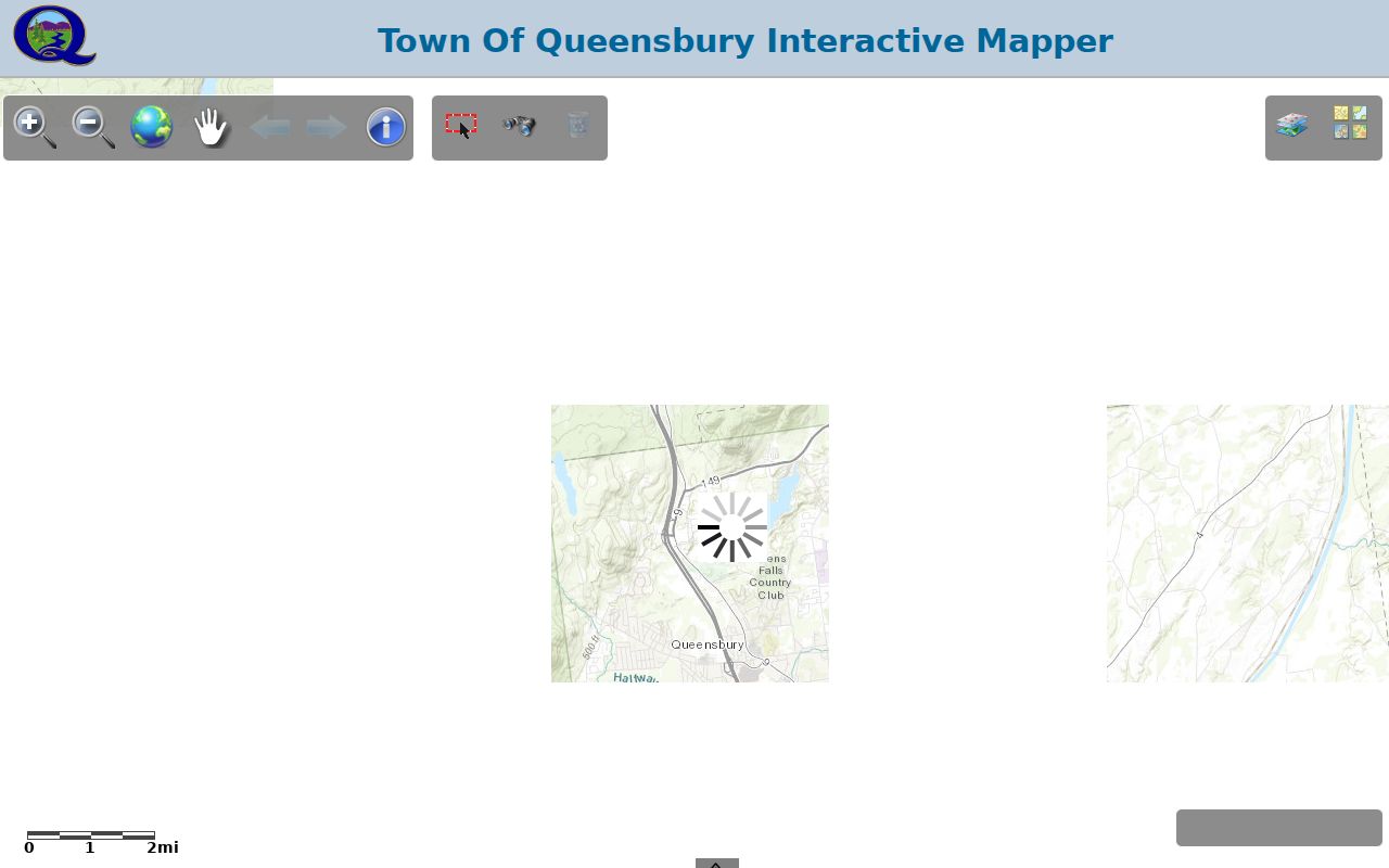
Mapped parcel context helps confirm the Town record route without claiming that a ZIP boundary is a municipal boundary.
Queensbury ZIP Code Voter Search Limits
New York's Voter Registration Search is an individual registration-status service for registered New York voters. It does not provide a verified Queensbury ZIP code roster, a street-wide list, or a block list. The rendered interface requires a county choice and identity information. Its directions call for address information, but the complete address-field display was not exposed in the inspected capture.
| Portal field | How it is used |
|---|---|
| County | Select Warren for a Queensbury registration search. |
| Last name | Required individual identity field. |
| First name | Required or indicated individual identity field. |
| Date of birth | Required or indicated in MM/DD/YYYY format. |
| ZIP code | Indicated as part of the address-information input. |
| Address information | Required by the instructions; the complete field rendering was only partially exposed. |
A current local search limitation follows from that design: no verified Queensbury search was found that returns residents ZIP by ZIP. The Warren County Board of Elections has historical aggregate enrollment publications and a separate procedure for election-record access, while statewide voter-list use is subject to election-purpose rules.
Queensbury ZIP Code Directory Terms
Postal vocabulary can make a ZIP code directory look more exact than it is. These definitions keep the delivery system separate from parcel and Town records.
- ZIP code
- A postal routing code used with a delivery address. It does not define a Town boundary.
- ZIP+4
- An added four-digit delivery segment used to refine a ZIP code for a particular address range or delivery point.
- PO-box ZIP
- A ZIP used for post-office-box delivery, which is not proof of a physical property location.
- Unique ZIP
- A ZIP assigned for a single delivery purpose or organization; no verified Queensbury example is asserted here.
- Carrier route
- A postal delivery grouping, not a public roster of the people at its addresses.
Queensbury ZIP Code Directory Postal Labels
A familiar mailing label does not prove that an address sits inside the matching local-government boundary. The 12801 Glens Falls mailing label on some Queensbury parcels makes that point directly. Likewise, material associated with 12820 should be resolved through the complete address and the relevant Queensbury parcel record, not from the label alone.
Queensbury itself can be a legal Town name, postal city, situs descriptor, school-district reference, or historical place label. Cleverdale, North Queensbury, Jenkinsville, South Queensbury, West Glens Falls, and Lake George can also appear as place clues in different civic or postal contexts. Preserve the original wording in older material, then identify the field that supplies the legal or parcel meaning.
This geography distinction is especially important for records requests. A local office, parcel map, and postal service may each describe the same address in a different way because they serve different systems. Match the request to the office that keeps the record and include the street address and tax-map detail when available.
Queensbury ZIP Code Directory Boundaries
There are no verified Queensbury ZIP boundary polygons in the research, so a clean line should not be drawn around any of the listed ZIP labels. The workable method is address first: ask USPS for the delivery ZIP, then use the Town Property Locator and Interactive Mapper to establish the parcel and Town connection. For historic work, retain the exact postal label printed in the directory, assessment roll, or letter rather than updating it by assumption.
For uncertainty about a municipal record tied to an address, the Town's FOIL process under New York Freedom of Information Law, Public Officers Law Article 6, sections 84 through 90, is the request route. The official Town FOIL provisions address requests, fees, redaction, and appeals.
Queensbury ZIP Code Directory Evidence
Keep the complete address, postal verification, parcel identifier, and source date together. That compact record shows which question was answered: delivery label, mapped parcel, property owner field, or individual registration status. It also makes a later correction easier when a postal and Town label do not align.
A ZIP code is a useful starting label. It becomes reliable local-record research only after the correct address and parcel are confirmed through the appropriate official source.