
Queensbury Previous Residents by Era
A useful address history is a timeline with a source beside every date. The parcel systems identify an address and owner-of-record lead. County deed tools connect named parties with recorded transfers. Archives, local-history repositories, directories, census records, obituaries, and cemetery material can test who was connected to the place at a particular point. The source date and the kind of relationship shown are as important as the name.
| Source | Years It Covers | Where Held | What It Shows |
|---|---|---|---|
| Town Property Locator and GIS | Current interface; historical cutoff not stated | Town of Queensbury | Tax map, situs, owner search, maps, and sales fields |
| SearchIQS real-property records | Approximately 1963-current online; portal online since 2009 | Warren County Clerk | Recorded party names and instruments, searched by name |
| Indexbooks and county deeds | 1813-1962 Indexbooks; deeds 1813+ | County Clerk and Records Center | Earlier grantor/grantee, book-page, and land-description leads |
| Archive and Historian material | Series-specific: assessment rolls 1854-1989; census 1830-1925 | Warren County archives and Historian | Historical property, household, family, and place context |
| Directories and related local sources | 1871 Queensbury; Glens Falls 1871-1990 incomplete | NYGenWeb, Library of Congress, Crandall | Dated names and regional place references |
Begin with the era closest to the question. For a recent transfer, use the parcel-to-owner bridge and the Clerk's record index. For a nineteenth-century address, use the legal description, Indexbooks, archive series, and historical repositories before expecting a modern street number to work.
Queensbury Property Records Start the Trail
The Town of Queensbury Property Locator is the address-first starting point. It accepts a tax-map number, street number, street name without the suffix, a suffix selector, and owner first or last name. Its sales mode requires both start and stop dates. Write down the tax-map number, situs, owner name as displayed, prior-owner or sale information when present, and the date the record was inspected. The town's interactive GIS can cross-check the parcel's location and surrounding roads.
The county real-property search is a useful second view because it accepts Town Name, Parcel ID, Prior ID, Property Location, and Owner. It labels ordinary results as a Master Record. Its Sales Data mode is narrower: the research capture says it matches only Parcel ID and Owner, not every location-only search. A parcel card or assessment roll can show owner and mailing fields, but neither establishes that a named owner occupied the property.
For an old address, preserve the current tax-map number even when the street wording changes. Search the parcel, subdivision name, old road wording, and adjoining descriptions in the next record set. That approach is more reliable than assuming a present-day address appears word for word in a historical deed.
Queensbury Address Records Need a Name Bridge
The Warren County Clerk states that real-property records are not indexed by tax parcel or street address. This creates the crucial Queensbury previous residents step: take the owner name from the Town locator, county roll, or GIS and use it in the Clerk's index. The SearchIQS guest portal lets the public search and view available records without charge, but its indexed names are the bridge to a document, not an address search tool.
SearchIQS real-property availability is approximately 1963-current. Guest access can lead to a record, while a printed deed or mortgage costs $5 for a non-commercial subscriber according to the Clerk. The older route is the Indexbooks tab, covering historical deeds from 1813-1962, APA, and lis pendens. The Clerk lists an Indexbooks fee of 50 cents per page. Record the document type, date, parties, book and page or document number, and each earlier description before moving backward.
Queensbury Previous Residents and Deed Chains
A deed chain traces recorded interests in a parcel. It does not create a complete occupancy list. Start with the latest reliable owner-of-record lead, find that party's acquisition instrument, and then use the seller's name and the earlier reference to move backward. When a deed changes from a street address to a lot, patent, map, road, or adjoining-owner description, retain that language. It is often the key to finding the earlier parcel.
- Use the Town Property Locator, county roll, or GIS to capture the tax-map number, situs, owner name, and any visible sale reference.
- Search the owner name in SearchIQS and identify the acquisition deed or other recorded instrument by its date and book-page or document number.
- Read the instrument for the grantor, legal description, prior reference, and parcel clues. The grantor is the party conveying an interest; the grantee is the party receiving it.
- Search the prior grantor as a grantee to locate that person's acquisition, then repeat the process backward.
- For the earlier period, consult Indexbooks, the Clerk's Record Room, or the Records Center with the date and book-page trail already assembled.
- Grantor / grantee
- The party giving an interest in a recorded instrument and the party receiving it. These roles can change from one deed to the next.
- Chain of title
- A sequence of recorded property interests traced through documents. It is not proof that every party lived at the address.
- Legal description
- The parcel wording in a deed, often a lot, map, patent, road, or adjoining-owner description. It can outlast a changing street address.
- Recorded ownership
- A document or assessment designation identifying an owner-of-record or instrument party. It differs from a record of occupancy.
Queensbury Archive Records for Earlier Addresses
The Warren County archive inventory identifies the series that extend the property trail beyond the online index. It lists deeds and mortgages from 1813 onward, maps and surveys from 1786 onward, assessment and tax rolls from 1854-1989, wills from 1813-1974, estate files from 1813 to about 1970, and census records from 1830-1925. Some series may have restrictions, so identify the series and date before requesting access.
The Warren County archival series inventory is the source for these long-running Queensbury previous residents records.
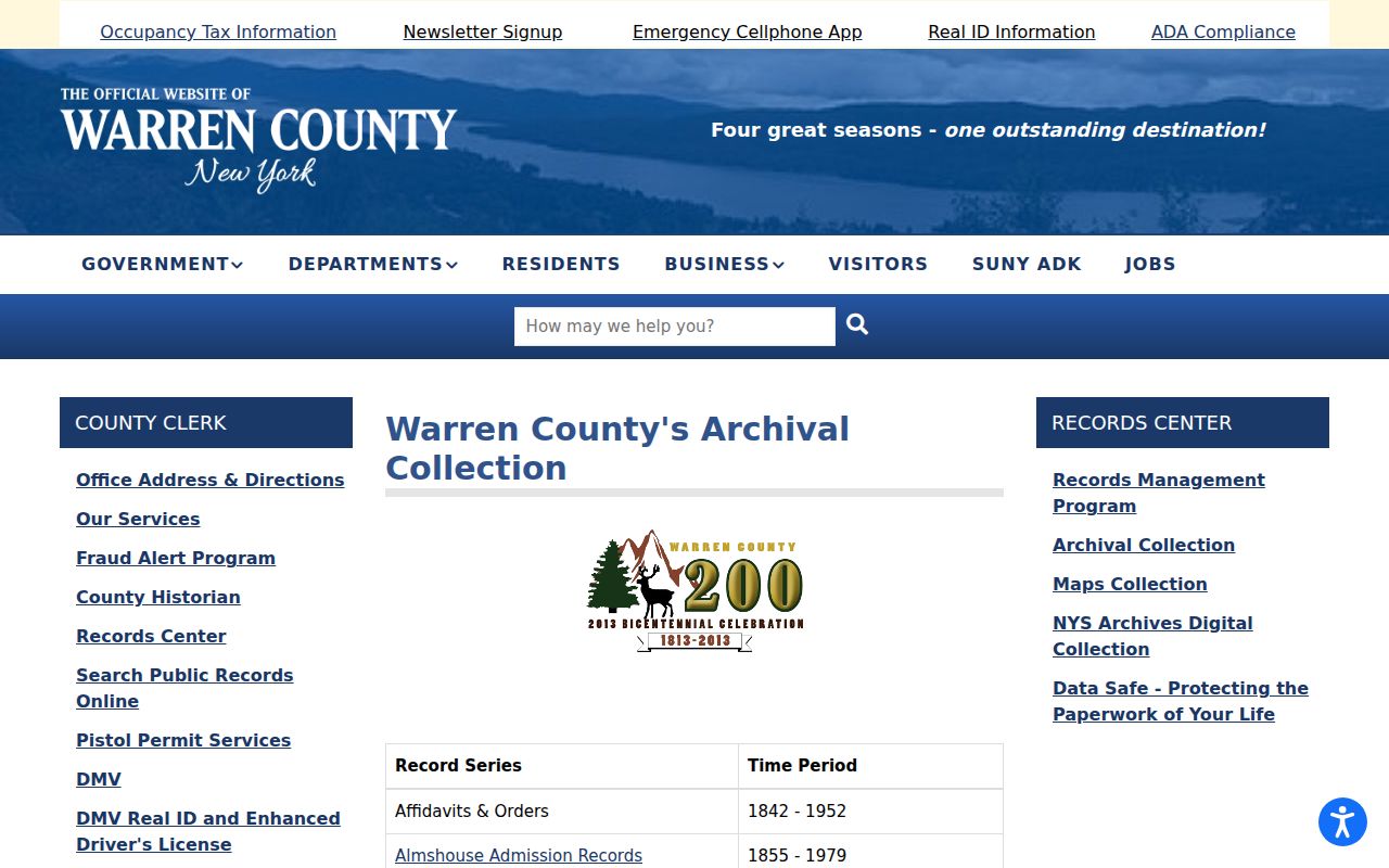
The archive inventory directs a request toward a record group rather than a vague surname search. A will or estate file may add family context to a deed trail, but it should remain separately cited from the land instrument.
The date-sorted Queensbury town index offers another historical lead. Its fields include date, name, description, town, record-series or catalog ID, and image ID. A displayed index row points to an underlying item; it is not a full deed image and does not prove who lived at a location.
The archival Queensbury town index shows the catalog-style fields available for a previous-residents request.
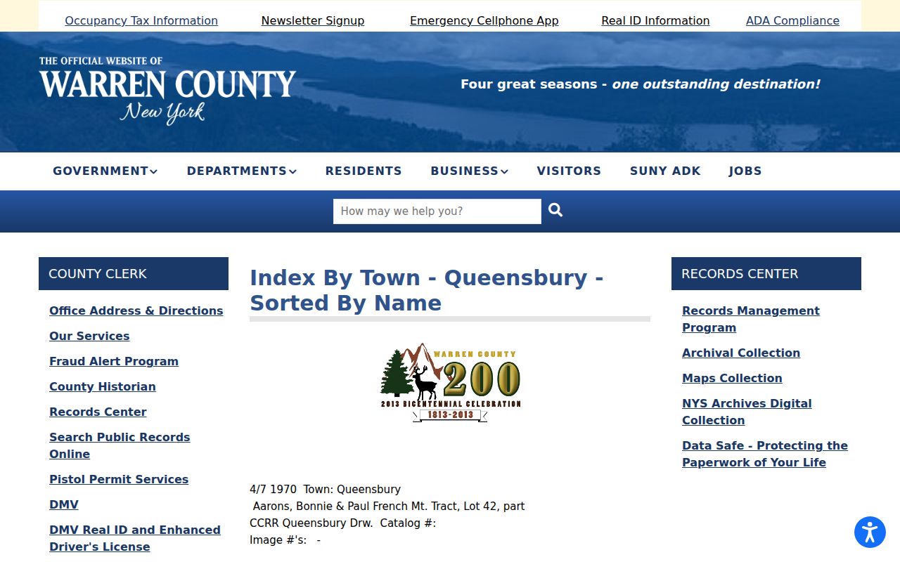
For example, a 1950 Cleverdale Road plat reference and a 1970 Route 9 estate reference show the kind of dated name-and-place clue in the index. Save the catalog and image identifier, then ask for the related archival item.
Queensbury Ownership and Occupancy Records
Previous residents research fails when a source is made to answer a different question. A parcel record may show a current owner and mailing line. A deed names parties to a transfer. Neither alone establishes who physically occupied the address in that year. A directory or census can place a person or household at a location, but its coverage and wording must still be recorded. Keep recorded ownership and occupancy in separate timeline columns.
| Parcel, roll, or deed | Owner-of-record, mailing field, sale or recorded party, legal description, and date. It does not by itself prove occupancy. |
|---|---|
| Directory or census | A dated name or household reference. It can support occupancy context but may use an old place label or omit people. |
| Obituary or cemetery record | A death, burial, lot, family, or residence clue. It needs a date and source check before it is connected to an address. |
| Permit or code file | A property action or applicant trail. It does not automatically show who lived at the site. |
Note: Owner mailing lines can differ from a Queensbury situs, including Glens Falls or Cleverdale postal labels. Preserve both the situs and mailing field instead of choosing one as the person's residence.
Queensbury Households in Directories and Census
The historical household portion of the trail begins with the confirmed 1871 Hamilton Child gazetteer and business directory, then expands through census and local-history evidence. The complete source discussion belongs with the Queensbury Directory Book. For an address question, use its dated entry as one point on a timeline, not as a replacement for a deed or parcel record. No verified Queensbury criss-cross directory run was located, so do not promise a reverse address lookup.
The Hamilton Child 1871 Queensbury directory page provides the direct local directory lead.
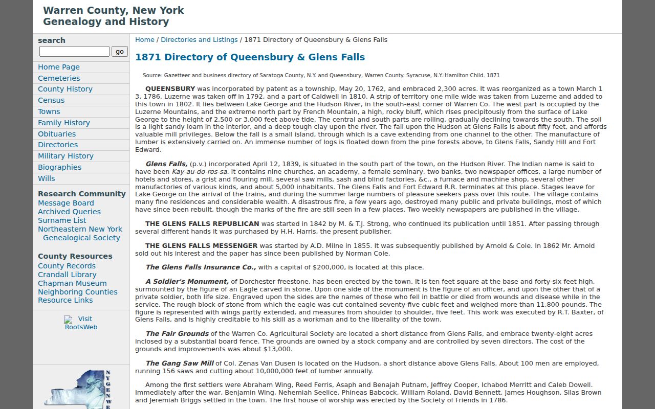
Use spelling variants, initials, married names, and older post-office labels when checking the directory against census and archive material. Glens Falls directories are valuable regional cross-checks from 1871-1990, though their holdings are incomplete and they are not complete Queensbury runs.
- Place the directory entry on the address timeline with its year, page, and exact place wording.
- Check the Warren County Historian's 1855 Queensbury transcript and identified census indexes where the time period fits.
- Compare the household date with the deed or assessment entry rather than treating ownership and occupancy as interchangeable.
- Use a cemetery transcript, Pine View result, obituary, or estate file as a dated corroborating lead.
Queensbury Address Record Gaps and Maps
No direct Queensbury Sanborn run was located in the inspected sources. The Library of Congress holds 1901 Sanborn material for adjacent Glens Falls, which can provide regional context but should never be described as a Queensbury map. The absence of a direct sheet makes the Town's parcel and GIS tools, deed descriptions, maps and surveys, historical photographs, and repository files more important for a Queensbury address.
Crandall's Folklife Center holds Queensbury vertical files, maps, photographs, directories, newspapers, and manuscripts. Give staff the address, older street name if known, tax-map number, date range, and names already found. The Warren County Historical Society and Historian add maps, family files, cemetery transcripts, and town material.
When a permit or code record is missing from the public materials, Queensbury Code Chapter 130 provides the Town route under the New York Freedom of Information Law (FOIL), Public Officers Law Article 6 (§§84–90). A request should name the address, record type, and date range. The Town's published counter hours and FOIL code differ, so call before an in-person visit.
Queensbury Previous Residents for House History
House history, family history, estate questions, and local-history research are legitimate reasons to assemble a dated address timeline. Keep the work limited to lawful personal research, preserve source dates, and treat living people with care. Do not use historical records to contact, track, harass, or harm anyone.
The Historian's written mail service, with its $15 nonrefundable payment and stamped-envelope requirement, offers a practical family-history fallback when online searches end. For newly accessible family material, confirm appointment and copying rules for the John Austin collection at the County Clerk's Record Room before making a trip.