
Tracing a Queensbury Street Directory Address
An address-led Queensbury street directory search works best as a chain, not as a single name search. Begin with the property location, find its tax map or parcel record, and compare the owner and mailing fields. Next, use the recorded instrument index to test whether the ownership trail fits the address. The New York voter registration portal is a separate, individual self-look-up route. It is not a street roster or a way to make a block list. A historic directory can add an older household clue, but it should not be treated as evidence of current occupancy.
- Enter the address in the Town Property Locator using the street number, street name, and suffix. Keep the tax map identifier and compare the property location with the listed owner and mailing fields.
- Open the location in the Town of Queensbury Interactive Mapper. Check the mapped parcel and available layers before carrying the result into another record system.
- Use the owner name as a bridge to the Warren County Clerk's SearchIQS index. SearchIQS is name based, so it does not accept a parcel or street address as the real-property search key.
- For an individual registration question, use the state voter-registration search with the person's own required details. Its result is a limited self-check, not proof of everyone at an address.
- When the goal is an earlier household, consult archival and historical directory material after the deed trail identifies a time period. The Queensbury Directory Book is the appropriate companion for that older material.
That order keeps the evidence straight. Address records establish a parcel or owner relationship first; they do not automatically establish present household occupancy.
Queensbury Street Directory Property Fields
The Town's Property Locator is the best first stop for an address-based Queensbury street directory search because it covers Town properties and links street information to a parcel card. Enter the road name without the suffix in the street-name box, then select the suffix separately. Use a tax map number when an address is uncertain. Sales mode needs both dates, so it is a different search path from the ordinary street or owner query.
| Property Locator field | How it helps an address search |
|---|---|
| Tax map number | Finds a specific assessment parcel when a street entry is uncertain. |
| Street number, name, and suffix | Builds the direct property-location search for a Queensbury street directory inquiry. |
| Owner first and last name | Lets a known owner name be checked against property records. |
| Sales start and stop dates | Must be entered together for the sales-information mode. |
The Warren County Real Property Search provides a second official property route. It has Town Name, Parcel ID, Prior ID, Property Location, and Owner fields. Its Sales Data mode is asymmetric: it matches Parcel ID and Owner, not a location-only query. Compare the Town and parcel before assuming two records concern the same property.
The county property-search view below is a useful reminder to compare the address and owner data before drawing conclusions from a matching street number.
Warren County Real Property Search is the source for this property-search view.
Property records can identify a parcel, owner of record, and mailing information, but they do not certify that the owner occupies the location today.
Queensbury Street Directory Map Checks
The Town of Queensbury Interactive Mapper gives an address-led search a spatial check. It exposes Parcel ID, Owner, and Address search modes, plus layer selection, identify, advanced selection, printing, and parcel buffering. The layer list includes municipal and Town boundaries, roads, Queensbury parcels, election districts, subdivisions, zoning districts, utility lines, water features, flood zones, and environmental layers.
Use the mapper to inspect the parcel boundary and then return to the tax record. Its Add to Current Selection, buffer, and select-parcels-within-buffer tools can distinguish nearby parcels from the parcel actually associated with the street number. The mapper does not turn a street directory inquiry into a verified resident list. It adds location context and helps prevent a parcel-number or street-name mismatch from carrying into the deed search.
The Town of Queensbury Interactive Mapper is the source for this parcel-viewer image.
Use the visible parcel context to verify the location before treating a matching owner name as part of the same street record.
Queensbury Street Directory Deed Trails
Once a parcel and owner field align, the Warren County Clerk SearchIQS portal is the recorded-document route. The Clerk says guests may search and view available records without charge. Real-property records are approximately 1963 to current online, while the system is name based. Search owner surnames as both grantor and grantee, then record the document type, recording date, book and page or document number, and any earlier owner or parcel description.
The difference between the systems is Queensbury's important street-directory quirk. The Town's parcel card and GIS carry an address to an owner name, but SearchIQS does not index real-property records by parcel or address. It is the owner-name bridge to a document trail. A non-commercial subscriber's printed document costs $5 through the vendor. Read the instrument rather than treating an index hit as proof that somebody currently lives at the property.
Warren County Clerk SearchIQS is the source for this public-records entry image.
The Clerk index is most useful after the address work has produced a reliable party name or parcel-related detail.
Queensbury Street Directory Record Coverage
Each Queensbury address record answers a different question. Comparing them prevents a common mistake: treating an owner field, a tax mailing field, and a voter-registration result as if they all describe the same fact. The rows below show the limited role of each official source in an address-based inquiry.
| Address-keyed source | Keeper | What it can support | Access route |
|---|---|---|---|
| Property and tax record | Town of Queensbury and Warren County | Tax map, situs, owner-of-record, and mailing fields | Town Property Locator or County Real Property Search |
| Interactive parcel map | Town of Queensbury | Parcel geometry, roads, boundaries, districts, and overlays | Interactive Mapper |
| Recorded deeds and mortgages | Warren County Clerk | Grantor, grantee, date, book/page, legal description, and recorded chain | SearchIQS name search and historical Indexbooks |
| Building and code records | Queensbury Buildings & Codes | Permit, inspection, occupancy, septic, or code-history context | Current files and FOIL for unpublished reports |
| Voter registration | New York State and Warren County Board of Elections | Individual self-confirmation or statutory election-record procedure | State portal or Board of Elections route |
For an unresolved parcel, repeat the address and tax-map check before moving to the deed index. That small comparison is more reliable than treating a street name alone as a unique identifier.
Queensbury Street Directory Terms
Property systems use a few terms that sound alike but serve different purposes. Knowing the difference helps keep a Queensbury street directory result tied to the record that actually supports it.
- Parcel
- A defined piece of real property identified in the assessment and mapping system.
- Situs address
- The physical property location, which may differ from the owner's mailing address.
- Plat
- A recorded map that depicts lots, boundaries, and related subdivision information.
- Reverse directory
- An address-arranged directory that can associate a past household with a location. No confirmed Queensbury reverse or criss-cross directory run was located.
A tax-map number can be more stable than a written street description. When a street label varies across sources, retain that identifier with the research notes.
Queensbury Street Directory Historical Names
Older address questions need a records trail, not a modern ownership screen alone. A deed may identify a lot by subdivision, patent, map, road, or adjoining owner rather than a modern street number. Search current and earlier road labels, surname variants, neighboring parcels, and the parcel's Prior ID where available. The Warren County archive's Queensbury town index can expose a dated name-and-place lead, but an index entry does not itself show a complete deed or prove occupancy.
For deeds before the usual online real-property span, use SearchIQS Indexbooks. The Clerk's Indexbooks tab reaches deeds from 1813 through 1962, as well as APA and lis pendens materials. The listed indexbook fee is 50 cents per page. The Records Center archive is another research route for permanent or long-running series, including deeds from 1813 onward, assessments and tax rolls, maps, and town-record miscellany.
Note: Historic names attached to an address should be checked against the underlying recorded or archival item before being treated as part of a household history.
Queensbury Street Directory FOIL Fallbacks
Some address-related municipal material is not presented as a searchable public report. Queensbury Buildings & Codes says monthly permit reports are no longer posted and directs researchers to FOIL. For a missing permit report or another local record, contact the Town Clerk and use New York Freedom of Information Law, Public Officers Law Article 6, sections 84 through 90. The Town Clerk is also the Records Access Officer and records-management contact.
Queensbury Code Chapter 130 permits a written request on the prescribed form, in person or by mail. It calls for a reasonably described record and allows inspection, copying, certification, privacy redaction, written denial, and an appeal to the Town Board. Copies up to 9 by 15 inches are 25 cents per page. The Town's current office hours are generally 8 a.m. to 4 p.m., while the code describes request submission on workdays from 9 a.m. to 5 p.m., so confirm counter timing before a visit.
Queensbury's published FOIL provisions are the source for this municipal-records image.
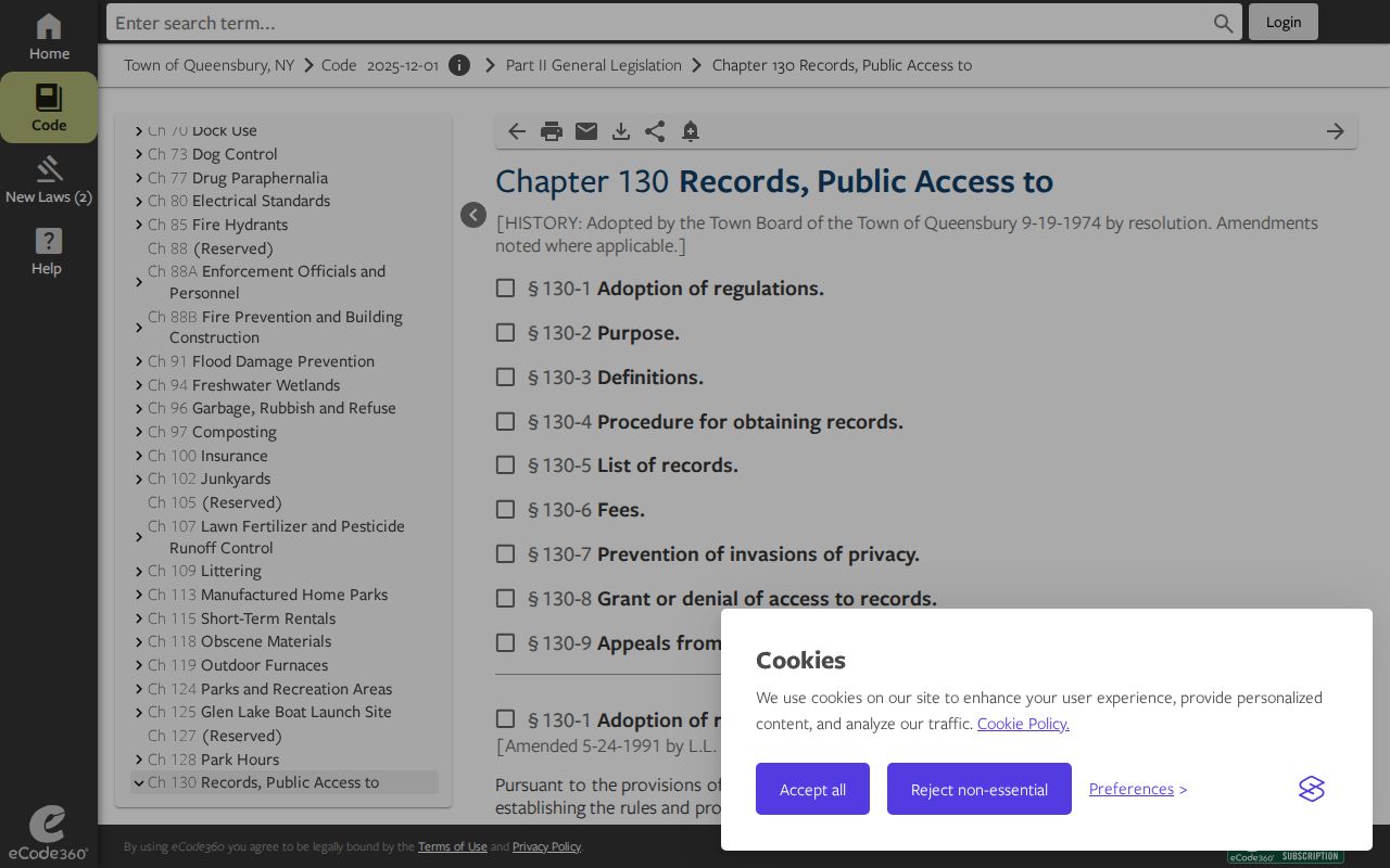
The Town Clerk and FOIL route give a documented next step for missing permit reports, while the Warren County Records Center and archive is the separate follow-up for older deeds and Indexbooks.
Queensbury Street Directory Privacy Limits
A Queensbury street directory inquiry can connect public property, map, and recorded-document facts, but those facts have limits. An owner name or mailing address is not proof of present occupancy. The voter portal is intended for an individual's registration check, not a way to assemble names for a street. The Board of Elections has separate statutory procedures for election records, with protected fields and election-purpose limits on statewide voter data.
Where two sources disagree, retain the source names and seek confirmation from the office that maintains the record. An Address Confidentiality Program participant may properly have a protected substitute address. Do not use GIS, deed, voter, or other record tools to try to reconstruct a protected address.
Queensbury Street Directory Evidence Checks
The most useful final check is simple: match the street address, tax map or parcel, owner field, and date before relying on a deed result. A different mailing address may be entirely normal, while a different parcel is a warning to stop and recheck the location. This Queensbury street directory workflow favors documented connections over quick conclusions.
For a current address question, begin again with the official property and GIS tools. For a past address question, carry the parcel and party details into the Clerk and archive routes. Each step leaves a clear record of what was confirmed and what remains unknown.